What is a cadastral survey and when is it needed
By Amelie Falconer / May 9, 2025 / No Comments / Cadastral Survey
Table of Contents
ToggleA cadastral survey is a detailed examination and mapping of land parcels, which establishes the boundaries, dimensions, and ownership of land. This type of survey plays a crucial role in property development, land management, and resolving disputes related to land ownership. Understanding the intricacies of cadastral surveys can help individuals and businesses navigate the complexities of land ownership and development in Australia.
The Importance of Cadastral Surveys
Cadastral survey serve as the foundation for land registration and property rights. They provide essential information that is used by government authorities, landowners, and developers to make informed decisions regarding land use and management. Accurate surveys are vital for ensuring that property boundaries are clearly defined, which can prevent disputes between neighbours and facilitate smooth transactions in the real estate market.
Legal Framework
In Australia, cadastral surveys are governed by various state and territory laws. These regulations dictate how surveys are conducted, the qualifications required for surveyors, and the processes for registering land titles. Understanding the legal framework surrounding cadastral surveys is essential for anyone involved in land transactions or development projects.
Surveyors must adhere to strict guidelines to ensure that their work is accurate and compliant with legal standards. This not only protects the rights of landowners but also contributes to the integrity of the land registration system as a whole. Furthermore, the legal framework often includes provisions for the continuous updating of cadastral information, ensuring that any changes in land use, ownership, or boundaries are accurately reflected in the official records. This dynamic aspect of cadastral surveys is crucial in a rapidly changing urban landscape, where developments can significantly alter land use and ownership patterns.
Dispute Resolution
Land disputes can arise for various reasons, including unclear boundaries, encroachments, or conflicting claims of ownership. Cadastral surveys provide a definitive solution to these issues by offering an accurate representation of land boundaries. In cases where disputes escalate, a cadastral survey can serve as crucial evidence in legal proceedings.
By establishing clear and precise boundaries, cadastral surveys can help maintain harmonious relationships between neighbours and reduce the likelihood of future conflicts. This is particularly important in densely populated areas where land is at a premium. Moreover, the role of cadastral surveys extends beyond mere boundary delineation; they also play a significant part in urban planning and environmental management. By providing detailed information about land parcels, surveyors assist local councils and governments in making strategic decisions regarding infrastructure development, zoning regulations, and conservation efforts. This holistic approach not only aids in resolving disputes but also promotes sustainable land use practices that benefit the wider community.
When is a Cadastral Survey Needed?
There are several situations in which a cadastral survey is necessary. Understanding these scenarios can help individuals and businesses determine when to engage the services of a qualified surveyor.
Property Transactions
One of the most common reasons for conducting a cadastral survey is during property transactions. Whether buying or selling land, having an accurate survey is essential for establishing the true boundaries of the property. This information is crucial for potential buyers, as it ensures they are fully aware of what they are purchasing.
Additionally, lenders often require a cadastral survey before approving a mortgage. This is to ensure that the property being financed has clearly defined boundaries and that there are no encroachments or disputes that could affect the value of the investment.

Land Development
For developers, a cadastral survey is a vital step in the planning process. Before any construction can begin, it is essential to have a clear understanding of the land’s boundaries and any existing easements or encroachments. This information helps developers create accurate site plans and ensures compliance with local zoning regulations.
Furthermore, a cadastral survey can identify any potential issues that may arise during the development process, such as the need for land clearing or the relocation of utilities. By addressing these concerns upfront, developers can save time and money in the long run.
Subdivision of Land
When landowners wish to subdivide their property, a cadastral survey is often required. This process involves dividing a larger parcel of land into smaller lots, which can then be sold or developed separately. A cadastral survey provides the necessary information to create new titles for each subdivided lot and ensures that the new boundaries are accurately represented.
Subdividing land can be a complex process, involving various legal and regulatory requirements. A cadastral survey helps streamline this process by providing clear and precise measurements, which can facilitate the approval of subdivision applications by local authorities.
The Process of Conducting a Cadastral Survey
Conducting a cadastral survey involves several steps, each of which is crucial for ensuring accuracy and compliance with legal standards. Understanding this process can help landowners and developers appreciate the importance of hiring a qualified surveyor.
Initial Consultation
The first step in the cadastral survey process is an initial consultation with a registered surveyor. During this meeting, the surveyor will discuss the client’s needs and objectives, as well as gather any relevant documentation, such as existing property titles, previous surveys, and any plans for land development.
This consultation is an opportunity for the surveyor to assess the site and identify any potential challenges that may arise during the survey process. It is also an essential step in establishing a clear understanding of the client’s expectations and requirements.
Field Survey
Once the initial consultation is complete, the surveyor will conduct a field survey. This involves physically measuring the land and identifying its boundaries using a combination of traditional surveying techniques and modern technology, such as GPS and digital mapping tools.
The field survey may also involve locating existing markers or monuments that define the boundaries of the property. This step is critical for ensuring that the survey is accurate and that any existing encroachments or easements are properly documented.
Data Analysis and Reporting
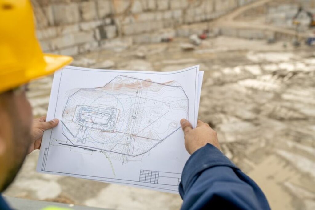
After the field survey is complete, the surveyor will analyse the data collected and prepare a detailed report. This report will include a map of the surveyed land, clearly indicating its boundaries, dimensions, and any relevant features, such as easements or encroachments.
The final report is an essential document for landowners, developers, and legal professionals, as it provides a definitive record of the land’s boundaries and ownership. It is also used to update land titles and register the property with the relevant authorities.

Selecting a qualified and experienced surveyor is critical for ensuring the accuracy and reliability of a cadastral survey.
There are several factors to consider when choosing a surveyor for your project.
Qualifications and Experience
It is essential to choose a surveyor who is registered and licensed to practice in your state or territory. This ensures that they have the necessary qualifications and expertise to conduct cadastral surveys in compliance with local laws and regulations.
Experience is also a crucial factor. Surveyors who have worked on similar projects will have a better understanding of the potential challenges and requirements involved. This experience can lead to a more efficient and accurate survey process.
Reputation and References
When selecting a surveyor, it is advisable to research their reputation within the industry. Look for reviews, testimonials, and references from previous clients to gauge their level of service and professionalism. A surveyor with a strong track record is more likely to deliver high-quality results.
Additionally, consider seeking recommendations from professionals in related fields, such as real estate agents, architects, or land planners. Their insights can help you identify reputable surveyors who have a proven history of successful projects.
A cadastral survey is a vital tool for establishing land boundaries, resolving disputes, and facilitating property transactions and development projects. Understanding when a cadastral survey is needed and the process involved can help individuals and businesses navigate the complexities of land ownership and management.By choosing a qualified surveyor and ensuring compliance with local regulations, landowners can protect their investments and contribute to the integrity of the land registration system. Whether for property transactions, land development, or subdivision, a cadastral survey is an essential step in ensuring a smooth and successful outcome.
More to Read : Benefits of a Boundary Survey Before Fencing or Building
